Exploring Geological Wonders: Mapping Dorset’s Cliff Faces with Drones

Introduction: Geologists from South Wales University embarked on a fascinating mission to map and analyze the striking cliff faces of Dorset. Armed with advanced drone technology, a Real-Time Kinematic (RTK) base station, and carefully placed geo-reference points, their goal was to create detailed 3D models of the cliffs. The four distinct areas chosen for mapping … Read more

Accurate Drone Surveying & Mapping

Real-Time Kinematic (RTK) is a satellite navigation technique used for obtaining highly accurate positions. When applied to drone mapping and surveying, RTK technology can provide numerous benefits, including: Overall, RTK technology can provide a range of benefits for drone mapping and surveying, including improved accuracy, time-saving, cost reduction, productivity enhancement, better data quality, and greater … Read more

Why Use A Professional Drone Company?

Wondering why you should pay more for a professional drone photographer? Occasionally we are told that jobs we have quoted for can be done cheaper by somebody they know like a friend, or a fellow operator just starting out. Hiring a professional, experienced company like ourselves, based in Dorset and offering out various drone photography … Read more

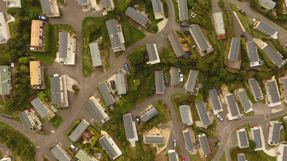
Get a Virtual Tour of Your Holiday Park with Holiday Park Drone Surveying 

aerial-photography-holiday-park

Have you ever considered professional drone surveying services to help give your guests a new way to experience your holiday park or to help with future planning and development? As a holiday park owner, you could try numerous different marketing opportunities. Still, we’re confident that virtual tours of your holiday park through professional drone surveying … Read more